
Langstone Moor 1 Cairn
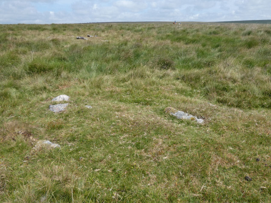
Photo taken on 25-08-2026
Database entries
OS Map: SX 55733 78124
OS Source: HER
Butler OS: SX55747811
HER: MDV4594
Alternate name: Langstone Moor 1
Short Name: CN Langstone 1
Butler map: 30.10.1
Grinsell: PETER TAVY 40
Exist: Yes
Record: Unique
Record Source: Butler
Hut Class: No
Cairn Class: Yes
Dimensions (m): 5.5 x 0.3
Lidar: SX 55733 78124
Guide Map: 24
Nearest Bus Stop: Merrivale Dartmoor Inn (4.0 km) [Route: 98,171(20/07/26 to 19/09/26)]
Nearby sites: SX 55733 78124
Notes
DEC Report (1898):No. 1. 336 feet from the centre of the stone circle in an E.S.E. direction is a wasted barrow, 15 feet in diameter. There are the remains of a circle of stones surrounding it. The usual pit, 2 feet wide and 1 foot 10 inches deep, dug in the "calm," was found, but no kistvaen. This contained no trace of the interment, nor even a particle of charcoal.Newman Cairn 10.
HER: Round cairn measures 5.3 metres in diameter and stands up to 0.3 metres high. Traces of a kerb are visible around the outer edge of the mound. Excavations carried out by the Dartmoor Barrow Committee revealed a pit cut into the subsoil, but no artefacts.
NB. The records here for this pair of cairns (1 and 2) had formerly been inverted in terms of the grid references. This has now been rectified.
References
These are selected references with an emphasis on out of copyright sources linked as PDFs. For more detailed references try any linked HER or PMD record above.
- Baring-Gould, Sabine, Fifth Report of the Dartmoor Exploration Committee, T.D.A. Vol.30 pp.97-115 (1898)
- Butler, Jeremy, Dartmoor Atlas of Antiquities, vol.2: The North, (1991)
- Grinsell, L.V., Dartmoor Barrows, Devon Archaeological Society Proceedings No.36 (1978)
- Newman, Phil, The Langstone Moor Stone Circle, Peter Tavy, Devon and its Prehistoric Environs, English Heritage (2003)
- Newman, Phil, Archaeological Sites within Merrivale Training Area (2018), Southwest Landscape Investigations (2018)