
White Tor Long Cairn E.2 Cairn
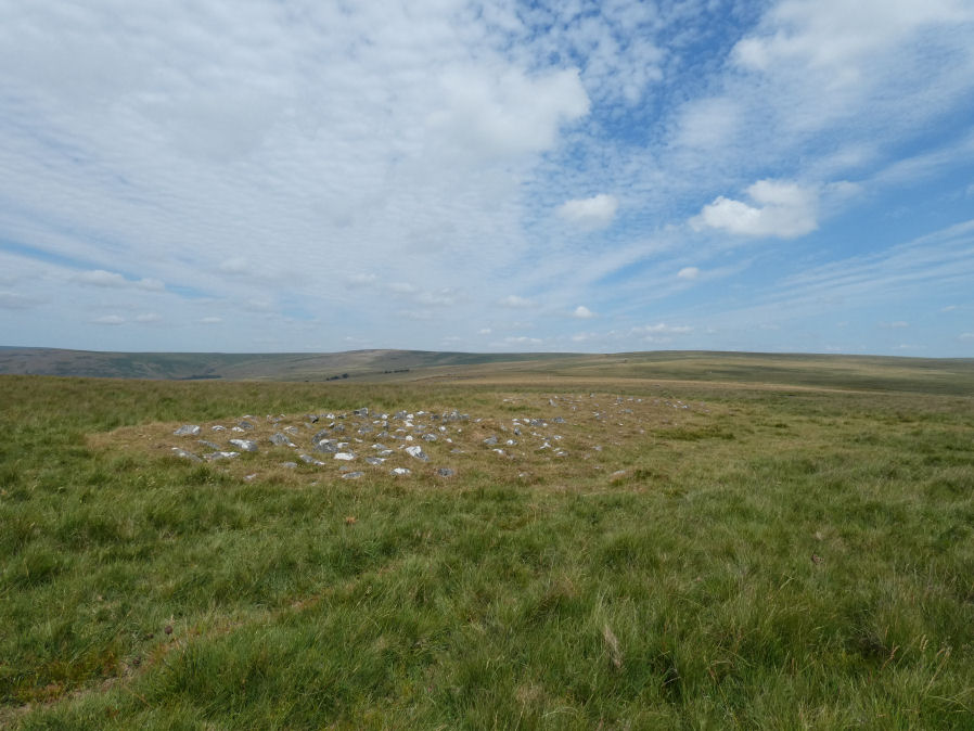
Photo taken on 25-07-2026
Database entries
OS Map: SX 54606 78667
OS Source: Google
Butler OS: SX54587866
HER: MDV4163
Alternate name: White Tor Long Cairn E.2
Short Name: CN White E2
Butler map: 31.22.2
Grinsell: PETER TAVY 25
Exist: Yes
Record: Unique
Record Source: Butler
Hut Class: No
Cairn Class: Yes
Dimensions (m): 9.4 x 0.3
Lidar: SX 54606 78667
Guide Map: 24
Nearest Bus Stop: Merrivale Dartmoor Inn (4.5 km) [Route: 98,171(20/07/26 to 19/09/26)]
Nearby sites: SX 54606 78667
Notes
Long cairn - formerly thought to be two separate cairns. Pet 25 & Pet 26 (HER 4163 & 12793). See also the record marked as a duplicate that is the eastern part of the monument: White Tor E.3 Cairn.Newman Cairn 8
In the photo above the two roughly circular sections of this combined monument can be seen a bit like a figure of eight. In the foreground is the western part of the monument with the eastern behind. There is a linear arrangement of small stones in the southern side of the eastern section that appear to continue on through to the western side and that is part of the reason this is thought to be a single monument - a long cairn.
Gerrard quoted on HER: Long cairn. Mound measures 36 metres long by 12 metres wide and stands up to 0.6 metres high. East and west ends of the mound are stony, whilst the area between is largely devoid of stone with the exception a fragmentary kerb, which is particularly visible on the s side of the mound. This central area is probably the result of an early partial excavation or robbing. Some doubt concerning identification of this site. All published works and NAR describe this site as two separate round barrows. Field Monument Warden and Monument Protection Programme fieldworker, however believe that there is a strong possibility that the stone kerb running from one distinct mound to the other may represent the kerb of a long cairn.
There does not seem to be consensus on whether this is a long cairn. The following observation appears on the HER record:
Centred SX54607867. This group of three disturbed and mutilated cairns is situated on a fairly exposed ridge of high ground in open boulder-free moorland.
SX54617864 (Grinsell's no. 26) A disturbed turf-covered cairn of platform type approximately 12m across with a maximum height of 0.5m. The centre and east side are both depressed and mutilated; a number of boulders protrude through the turf but they do not appear to form a multiple ring (not Scheduled). A turf covered spread of stony material lying on or against the east side which measures c 6m by 5.7m and 0.2m in height could be excavation spoil dug from the centre. A scatter of stones and small boulders occurs between the two cairns. Also an apparent boulder/stone line 0.2m high links them. These features are probably fortuitous patterns of exposed sub-surface stones..
The current author has opted to treat this as one monument for the time being. The grid reference for this record is taken from google satellite and is centred on this double feature. That grid reference is roughly central between those logged on a Garmin on 25/07/2026 for the western part (SX 54593 78666) and the eastern part (SX 54611 78669). The eastern part is currently marked as a duplicate assuming it is part of this monument but has been allocated that grid reference.
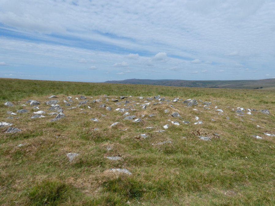
Western part of this monument. Photo taken 25/07/2026
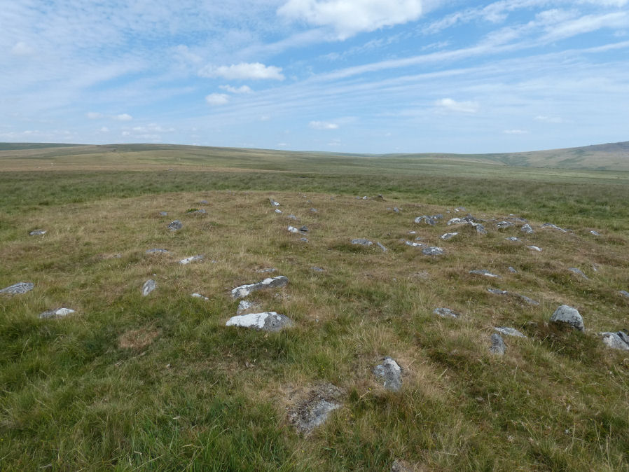
Eastern part of this monument. Photo taken 25/07/2026
References
These are selected references with an emphasis on out of copyright sources linked as PDFs. For more detailed references try any linked HER or PMD record above.
- Butler, Jeremy, Dartmoor Atlas of Antiquities, vol.2: The North, (1991)
- Grinsell, L.V., Dartmoor Barrows, Devon Archaeological Society Proceedings No.36 (1978)
- Newman, Phil, The Langstone Moor Stone Circle, Peter Tavy, Devon and its Prehistoric Environs, English Heritage (2003)
- Newman, Phil, Archaeological Sites within Merrivale Training Area (2018), Southwest Landscape Investigations (2018)