
Langstone Moor 11 Peat Stack
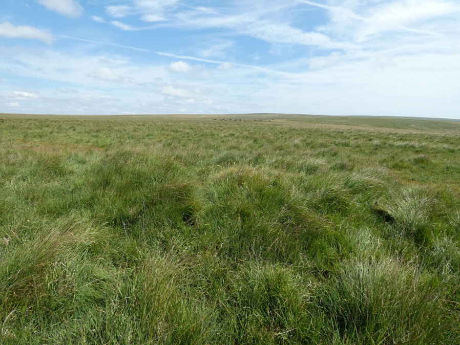
Photo taken on 25-07-2026
Database entries
OS Map: SX 55155 77831
OS Source: Garmin
HER: MDV12814
Alternate name: Langstone Moor 11
Short Name: CN Langstone11
Grinsell: List B Peter Tavy 40d
Exist: Yes
Record: Unique
Record Source: Grinsell
Hut Class: No
Lidar: SX 55155 77831
Guide Map: 24
Nearest Bus Stop: Merrivale Dartmoor Inn (3.5 km) [Route: 98,171(20/07/26 to 19/09/26)]
Nearby sites: SX 55155 77831
Notes
Probably peat stacks as shown by hole in B:PET 40b.Author visited 26/07/2026. The feature is consistent with being a peat stack.
Newman (2022):Peaty mounds - not antiquities.
NB. Formerly listed here named as Langstone Moor (PET 40d) Clearance Cairn
References
These are selected references with an emphasis on out of copyright sources linked as PDFs. For more detailed references try any linked HER or PMD record above.
- Grinsell, L.V., Dartmoor Barrows, Devon Archaeological Society Proceedings No.36 (1978)
- Newman, Phil, Archaeological Sites within Merrivale Training Area (2018), Southwest Landscape Investigations (2018)
- Newman, Phil, Archaeological Sites within Merrivale Training Area (2022), Southwest Landscape Investigations (2022)