
Hare Tor N.3 Cairn
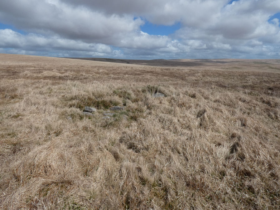
Photo taken on 18-04-2026
Database entries
OS Map: SX 55287 84578
OS Source: Garmin
HER: MDV103626
Alternate name: Hare Tor N.3
Short Name: CN Hare Tor N3
Exist: Yes
Record: Unique
Record Source: HER
Hut Class: No
Cairn Class: Yes
Dimensions (m): 6.4 x 6.1 x 0.4
Lidar: SX 55287 84578
Guide Map: 16
Nearest Bus Stop: Dartmoor Inn (4.0 km) [Route: 118]
Nearby sites: SX 55287 84578
Notes
HER: Cairn of 6.4 metres by 6.1 metres and 0.4 metres high between the summits of Hare Tor and Sharp TorThis cairn is to the east of Butler's Hare Tor N.1. Butler lists a cairn N.2 to the south west of N.1. That coincides with the location of a relatively modern earthwork which is thought to be either a military target butt or related to work by tinners. Hare Tor N.2 Cairn
References
These are selected references with an emphasis on out of copyright sources linked as PDFs. For more detailed references try any linked HER or PMD record above.
- Newman, Phil, Archaeological Sites within Willsworthy Training Area, Dartmoor National Park, Devon, Southwest Landscape Investigations (2019)