
Guide to the Monuments on Cripdon Down and Hayne Down
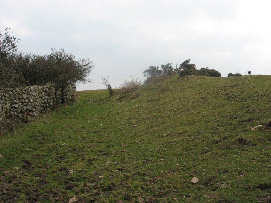
Table of Ritual and Burial Monuments on Cripdon Down and Hayne Down
The following table lists the records currently in this Guide Map. For an explantion of the Guide Maps and a table of all 62 Guide Maps, follow this link: Guide List Table. Introductory text will be added to each guide list in 2025. Notes on duplication and omissions will appear below the table once checks have been finalised.
Notes on possible duplications and omissions
Hayne Down summit Reported Cist: This is Grinsell MANATON 3a and Butler Map 21 - feature originates with description by Crossing. This record is included here to complete the Grinsell and Butler listings but the feature cannot be found. LVG and GMS have searched in vain for cist near reave connecting Bowerman's Nose with tor to SE, mentioned by Crossing 1912/1965, 294. Grinsell: LVG and GMS have searched in vain for cist near reave connecting Bowerman's Nose with tor to SE, mentioned by Crossing 1912/1965 p.294. The HER has an entry MDV130870 for Hayne Down Reported Stone Row. That entry refers also to the reported Crossing cist but based on Crossing's description the two features are nearly 0.5km apart. For that reason we have kept the two records separate. It may not be worth the HER having a seprate entry.PS. These notes are to assist untangling complicated records and are neither permanent nor a criticism of the HER who do a fantastic job! The author finds it easier to systematically work through these records (2000+ of them) and add these notes, which are then to be communicated with the HER, if appropriate, it is a pragmatic way of dealing with lots of data without continually stopping and starting.
Cripdon Down and Hayne Down Guide Map
Guidance for walkers: The monuments featured in this database are archaeological treasures and need to be protected and preserved - please do not disturb any sites. Please check access and firing times before visiting sites, not all sites listed are on open access land. Firing ranges and boundaries of open access areas are marked on the OL28 OS Dartmoor Explorer map. Please stick to the country code and consider giving support to the numerous agencies that help to keep Dartmoor a fabulous natural and historic environment!
List of Ritual and Burial Monuments on Cripdon Down and Hayne Down
Heatree Down Cairn
OS Map: SX 72435 80255
HER record: MDV8764
ShortName: CN:HeatreeDown
Butler map: 20.19
Grinsell: MAN 3
Notes: Cairn on Heatree Down, measuring 14.5 meters in diameter, and 0.6 meters high. The cairn itself has been disturbed by looting and is bumpy.
Nearby sites: SX72448026
Hayne Down Reported Stone Row
OS Map: SX 74022 79974
HER record: MDV130870
ShortName: SR:Hayne Down
Notes: Cunis, E, 2021, Identification of possible circle/row on Whitehorse Hill (Correspondence). (04/03/2021) Possibile cairn(s) and small stone row identified on Hayne Down. William Crossing mentions a cist 'near the southern group of summit rocks’ (reported by Butler in Vol. One) but cairn not mentioned therefore this may be a separate feature.
One stone standing prominently, another 2-3 noted in a linear arrangement from what looks like a round cairn at the north-western end. Grid Ref: SX74022 79974.
This is very unlikely to be the feature mentioned by Crossing. The current entry for that is located between the two tors and is nearly half a kilometer away. See: Hayne Down summit Reported Cist
Nearby sites: SX74027997
Hayne Down summit Reported Cist
OS Map: SX 74400 80200
HER: No record found
PMD: Hayne Down
ShortName: CT?Hayne Down
Butler map: 21.
Grinsell: MAN 3a
Notes: Grinsell: LVG and GMS have searched in vain for cist near reave connecting Bowerman's Nose with tor to SE, mentioned by Crossing 1912/1965 p.294.
The HER has an entry MDV130870 for Hayne Down Reported Stone Row. That entry refers also to the reported Crossing cist but based on Crossing's description the two features are nearly 0.5km apart. For that reason we have kept the two records separate.
Nearby sites: SX74408020
Cripdon Down Reported Stone Row
OS Map: SX 73500 80800
HER record: MDV130912
ShortName: SR:Cripdon
Notes: HER: Hemery (1983) records a stone row here, estimated at SX 735 808. Stone row, Cripdon Down. North-west of the hut circles depicted on the Ordnance Survey map (SX 78 SW 17) and west of the Cripdon Down summit pile is a single stone row, 120 yards long passing over the crest of the Down. At the northern end is a very large fallen slab (destroyed cist?). The lower, southern end has stones of a greater size than the majority, one 7 feet long could have former a blocking stone. The stones are evenly spaced and not generally large.
Nearby sites: SX73508080
Cripdon Ancient Pool
OS Map: SX 73345 80335
HER record: MDV127204
ShortName: PO:Cripdon
Notes: "The pool at Cripdon measures 24 by 14m One of over 40 such 'sacred' pools identified on Dartmoor that are thought to have potentially been designed during the prehistoric period"
Nearby sites: SX73358034
Easdon A Ancient Pool
OS Map: SX 73212 82349
HER record: MDV127207
ShortName: PO:Easdon A
Notes: "Easdon A measures 12.5 by 10m One of over 40 such 'sacred' pools identified on Dartmoor that are thought to have potentially been designed during the prehistoric period"
Nearby sites: SX73218235
Easdon B Ancient Pool
OS Map: SX 73222 82334
HER record: MDV127208
ShortName: PO:Easdon B
Notes: "A pool measuring 9 by 6.5m. One of over 40 such 'sacred' pools identified on Dartmoor that are thought to have potentially been designed during the prehistoric period. Lies near a reave."
Nearby sites: SX73228233
Easdon Hill Stone Ring Cairn Circle
OS Map: SX 73350 82300
HER record: MDV8767
Megalithic Portal: 45848
PMD: Easdon Tor
ShortName: RC:Easdon Hill
Butler map: 22.3
Grinsell: MAN 1
Turner: A61
Notes: "A cairn with a large centrally placed rock which is possibly the capstone of a kist. Robbers have excavated around and about this giving a rock strewn central hollow to the cairn. There is no encircling ditch. The capstone is approximately square. Touching its base at the east is a triangular shaped orthostat. The cairn is situated on the very summit of a hill."
Nearby sites: SX73358230
Easdon Down 1 Crop Mark
OS Map: SX 74140 82610
HER record: MDV27974
ShortName: CNxEasdon Do1
Notes: Aerial Photograph
Nearby sites: SX74148261
Easdon Down 2 Crop Mark
OS Map: SX 73190 81360
HER record: MDV27977
ShortName: CNxEasdon Do2
Notes: Aerial Photograph
Nearby sites: SX73198136
Hunters Tor Fort
OS Map: SX 76158 82443
HER record: MDV8824
Megalithic Portal: 7759
ShortName: FT HuntersTor
Notes: "Iron Age hill-fort at Hunters' Tor: 'Three concentric enclosures, defences stone built and partly robbed for field walls. Inner entrance knobbed with embanked approach-road across second enclosure. Hill-top site.'"
Nearby sites: SX76168244
Hunters Tor (SE of) Reported Cist
OS Map: SX 76080 82340
HER record: MDV28616
PMD: Hunter's Tor
ShortName: CT?HuntersTor
Grinsell: LUS 1
Notes: Possibly natural feature
Nearby sites: SX76088234
Hisley Wood 1 Reported Cairn
OS Map: SX 77226 80632
HER record: MDV114521
ShortName: CN:HisleyWd 1
Notes: "Stone piles or possible cairns noted in the wood. Few details given; may be related to clearance."
Nearby sites: SX77238063
Hisley Wood 2 Reported Cairn
OS Map: SX 77390 80670
HER record: MDV114528
ShortName: CN:HisleyWd 2
Notes: HER: Substantial stone mounds though to be related to field clearance noted 10 metres from a second mound in the wood.
Nearby sites: SX77398067
Hisley Wood 3 Reported Cairn
OS Map: SX 77384 80928
HER record: MDV114526
ShortName: CN:HisleyWd 3
Notes: "Stone mound noted below path from Bovey Combe to Clam Bridge. No measurements provided. Unlikely to be related to field clearance due to steepness of slope."
Nearby sites: SX77388093
Hisley Wood 4 Reported Cairn
OS Map: SX 77690 80830
HER record: MDV114538
ShortName: CN:HisleyWd 4
Notes: HER: Stone pile which may be the result of field clearance noted in the wood, near 1960s logging track
Nearby sites: SX77698083
Page last updated 10/12/24