
Black Down Cairn
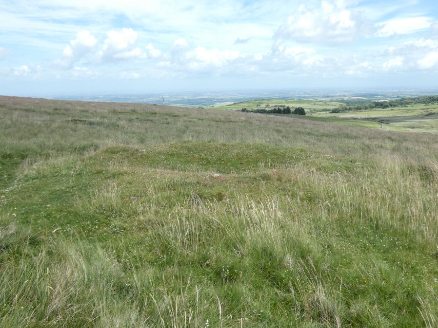
Photo taken on 26-06-2022
Database entries
OS Map: SX 58463 92328
OS Source: Google
Butler OS: SX58469233
HER: MDV61330
Alternate name: Black Down
Short Name: CN BlackDown 1
Butler map: 42.5
Exist: Yes
Record: Unique
Record Source: Butler
Hut Class: No
Cairn Class: Yes
Dimensions (m): 7.5 x 0.8
Lidar: SX 58463 92328
Guide Map: 1
Nearest Bus Stop: Okehampton Railway Station (3.0 km) [Route: 118,306,6A]
Nearby sites: SX 58463 92328
Notes
"The monument includes a round cairn situated on Black Down on a narrow shelf on a steep east facing slope overlooking the valley of the Moor Brook. The cairn measures 8m in diameter and stands up to 0.8m high. A hollow in the centre of the mound represents the site of an early investigation. A further narrow trench cut next to the north western side of the mound is probably the result of historic military interference."References
These are selected references with an emphasis on out of copyright sources linked as PDFs. For more detailed references try any linked HER or PMD record above.
- Butler, Jeremy, Dartmoor Atlas of Antiquities, vol.2: The North, (1991)
- Newman, Phil, Archaeological Sites within Okehampton Training Area, Southwest Landscape Investigations (2014)