
Leeden Tor stone row Cairn
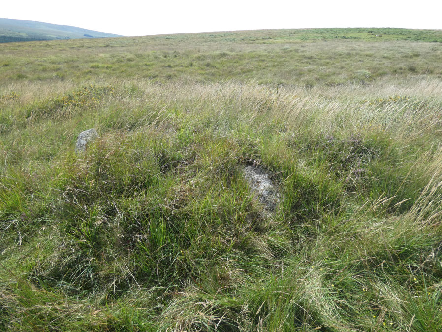
Photo taken on 15-08-2025
Database entries
OS Map: SX 56525 71482
OS Source: Garmin
Butler OS: SX56537147
HER: MDV50220
Alternate name: Leeden Tor stone row
Short Name: CN LeedenRow
Butler map: 45.15
Exist: Yes
Record: Unique
Record Source: Butler
Hut Class: No
Cairn Class: Yes
Dimensions (m): 6.0 x 0.4
Lidar: SX 56525 71482
Guide Map: 38
Nearest Bus Stop: Princetown Dartmoor Visitor Centre (4.2 km) [Route: 98,171,172]
Nearby sites: SX 56525 71482
Notes
Damaged cairn at the north-western end of a probable stone alignment (MDV50223) on Walkhampton Common. On the line of an (apparently later) reave. The plan in Butler is helpful to finding and understanding this site. The author visited this feature on 15/08/2025 with Steve Szypko. The stone row cairn and the nearby gun emplacement are difficult to find. Following the stone row up and then heading a little west the circular depression for the nearby gun emplacement can be found. This in turn helps to locate the nearby stone row cairn.References
These are selected references with an emphasis on out of copyright sources linked as PDFs. For more detailed references try any linked HER or PMD record above.
- Butler, Jeremy, Dartmoor Atlas of Antiquities, vol.3: The South-West, (1994)