
Lakehead Hill Summit Stone Row
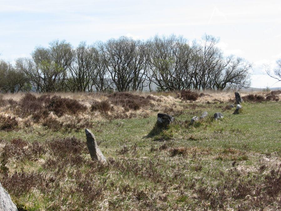
Photo taken on 15-05-2010
Database entries
PDW coverage: Dartmoor Site: Lakehead Hill
OS Map: SX 64367 77656
OS Source: SRGB
HER: MDV5930
Megalithic Portal: 2010
The Stone Rows of GB: Lakehead Hill Summit
PMD: Lakehead Hill 3 Stone Row
Alternate name: Lakehead Hill summit
Short Name: SR LakeheadSum
Butler map: 27.19.3
DPD page: 115
Exist: Yes
Record: Unique
Record Source: PDW
Hut Class: No
Dimensions (m): 19.9
Lidar: SX 64367 77656
Guide Map: 28
Nearest Bus Stop: Postbridge Bellever (1.6 km) [Route: 98]
Nearby sites: SX 64367 77656
Notes
HER: A stone alignment lying on a gentle slope near the summit of Lakehead Hill. It includes a 22 metre long, single row of at least 12 stones standing up to 0.75 metres high, aligned east to west.. Lethbridge diagram p.114 and photo bottom p.115.References
These are selected references with an emphasis on out of copyright sources linked as PDFs. For more detailed references try any linked HER or PMD record above.
- Butler, Jeremy, Dartmoor Atlas of Antiquities, vol.2: The North, (1991)
- Lethbridge, William D., Discover Preshistoric Dartmoor, (2015)
- Worth, R. Hansford, The Stone Rows of Dartmoor Part 1, T.D.A. Vol.78 pp.285-316 (1946)