
Drizzlecombe 18 Cairn
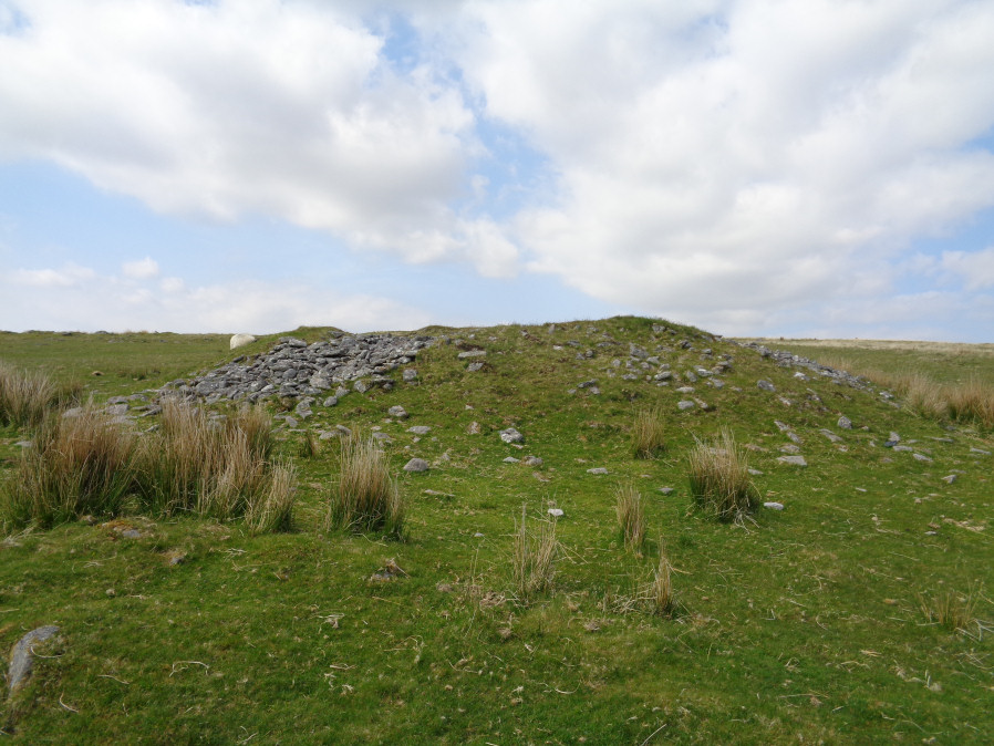
Photo taken on 19-05-2018
Database entries
OS Map: SX 59376 67182
OS Source: Google
Butler OS: SX59376717
HER: MDV4032
Alternate name: Drizzlecombe 18
Short Name: CN Drizzle 18
Butler map: 49.19.18
Grinsell: SHEEPSTOR 27
Exist: Yes
Record: Unique
Record Source: Butler
Hut Class: No
Cairn Class: Yes
Dimensions (m): 17.5 x 1.7
Lidar: SX 59376 67182
Guide Map: 48
Nearest Bus Stop: Meavy Primary School (6.5 km) [Route: 56]
Nearby sites: SX 59376 67182
Notes
"A large cairn now disturbed and partially covered by low vegetation lies in open moorland. Composed of stones and small boulders it is 17.7 metres in diameter and a maximum 1.9 metres high. Spoil has been dumped around the top of the mound from the central excavation pit; three backfilled trenches extend from this central depression. There is no visible evidence of a kerb or cist."References
These are selected references with an emphasis on out of copyright sources linked as PDFs. For more detailed references try any linked HER or PMD record above.
- Butler, Jeremy, Dartmoor Atlas of Antiquities, vol.3: The South-West, (1994)
- Grinsell, L.V., Dartmoor Barrows, Devon Archaeological Society Proceedings No.36 (1978)