
Upper Spanish Lake 2 Reported Cist
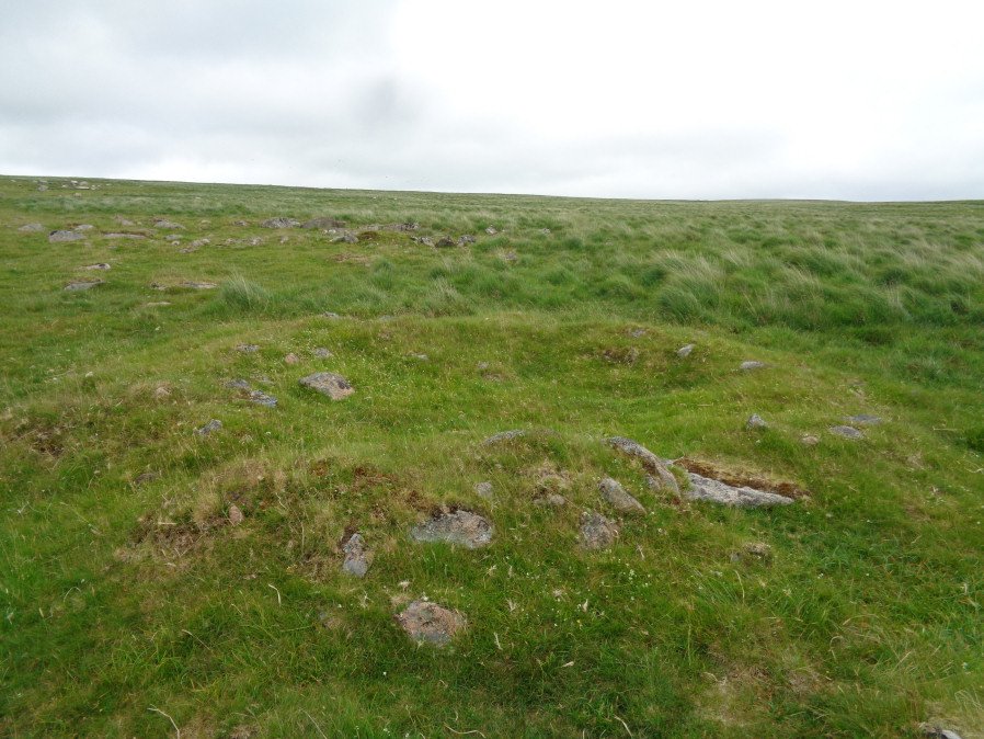
Photo taken on 23-06-2017
Database entries
OS Map: SX 58586 64351
OS Source: Garmin
Butler OS: SX58566433
HER: MDV2418
PMD: Lee Moor S2
Alternate name: Upper Spanish Lake 2
Short Name: CT U Spanish 2
Butler map: 51.5.2
Dixon Cist #: 170
Grinsell: SHAUGH PRIOR 34
Exist: Yes
Record: Unique
Record Source: Butler
Hut Class: No
Cist Class: Yes
Cairn Class: Yes
Dimensions (m): 5.0 x 0.4
Lidar: SX 58586 64351
Guide Map: 53
Nearest Bus Stop: Lee Moor Clearview (3.6 km) [Route: 59]
Nearby sites: SX 58586 64351
Notes
Cairn, measuring roughly 3 metres in diameter and 0.3 metres high. The end and side slabs of the cist survive but the coverstone is missing.References
These are selected references with an emphasis on out of copyright sources linked as PDFs. For more detailed references try any linked HER or PMD record above.
- Butler, Jeremy, Dartmoor Atlas of Antiquities, vol.3: The South-West, (1994)
- Grinsell, L.V., Dartmoor Barrows, Devon Archaeological Society Proceedings No.36 (1978)