
Lakehead Hill S.E. Stone Row
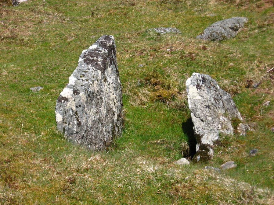
Photo taken on 15-05-2010
Database entries
PDW coverage: Dartmoor Site: Lakehead Hill
OS Map: SX 64701 77409
OS Source: SRGB
HER: MDV5875
Megalithic Portal: 44544
The Stone Rows of GB: Lakehead Hill 2
PMD: Lakehead Hill 2 Stone Row
Alternate name: Lakehead Hill 2
Short Name: SR Lakehead SE
Butler map: 27.19.7
Butler Vol 5: p.184 & Fig.127
DPD page: 118
Exist: Yes
Record: Unique
Record Source: PDW
Hut Class: No
Barrow Report: 54
Lidar: SX 64701 77409
Guide Map: 28
Nearest Bus Stop: Postbridge Bellever (1.0 km) [Route: 98]
Nearby sites: SX 64701 77409
Notes
R.N. Worth The cist was examined in 1895/6 but nothing was found. It was surrounded by a double retaining circle and a stone row lead from it north west, of which ten stones remained, but these had sunk into the bog leaving only their tops showing. SRGB states: This description makes it clear that this is unlikely to be a stone row since a row composed of small stones would not have survived the ditch digging involved in the building of the hedge. It is much more likely that they represented stones exposed in the side of the ditch. HER also has: The stone row which falls in an afforested area could not be identified and has probably been destroyedReferences
These are selected references with an emphasis on out of copyright sources linked as PDFs. For more detailed references try any linked HER or PMD record above.
- Baring-Gould, Sabine, Third Report of the Dartmoor Exploration Committee, T.D.A. Vol.28 pp.174-199 (1896)
- Burnard, Robert, Notes on Dartmoor Kistvaens, T.D.A. Vol.22 pp.200-207 (1890)
- Butler, Jeremy, Dartmoor Atlas of Antiquities, vol.2: The North, (1991)
- Butler, Jeremy, Dartmoor Atlas of Antiquities, vol.5: The Second Millennium B.C., (1997)
- Worth, R. Hansford, Barrow Report 54, T.D.A. Vol.67 pp.77-80 (1935)
- Worth, R.N., The Stone Rows of Dartmoor - Part 4, T.D.A. Vol.27 pp.437-442 (1895)