
Burford Down Encircled Cairn
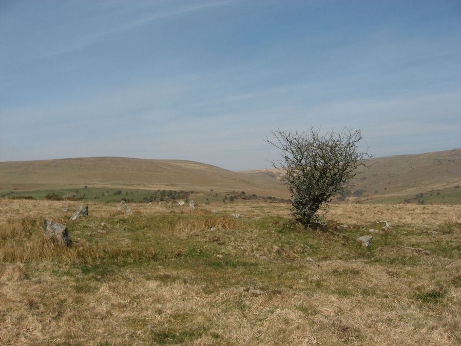
Photo taken on 19-03-2011
Database entries
PDW coverage: Dartmoor Site: Burford Down stone row and cairns
OS Map: SX 63704 60178
OS Source: Garmin
Butler OS: SX63696017
HER: MDV4257
Megalithic Portal: 719
PMD: Burford Down Stone Row
Alternate name: Burford Down stone row
Short Name: EC BurfordDown
Butler map: 54.17
Grinsell: HARFORD 5
Turner: F10
DPD page: 70
Exist: Yes
Record: Unique
Record Source: Butler
Hut Class: No
Cairn Class: Yes
Barrow Report: 14 40
Dimensions (m): 9.5 x 0.3
Lidar: SX 63704 60178
Guide Map: 56
Nearest Bus Stop: Cornwood Crossways (4.3 km) [Route: 59]
Nearby sites: SX 63704 60178
Notes
"The south terminal cairn, 9.0m diameter and 0.6m high, has a central depression, about 2.5m diameter and 0.4m deep, and is edged by 3 upright and 2 fallen orthostats, average 0.7m by 0.2m and up to 0.9m high, the remains of a retaining circle or peristalith."References
These are selected references with an emphasis on out of copyright sources linked as PDFs. For more detailed references try any linked HER or PMD record above.
- Butler, Jeremy, Dartmoor Atlas of Antiquities, vol.4: The South-East, (1993)
- Davidson, C. & Seabrook, R., Stone rings on south-east Dartmoor, D.A.S.P. No.31 (1973)
- Falcon, T.A., Dartmoor: A Note On Graves, T.D.A. Vol.37 pp.457-461 (1905)
- Grinsell, L.V., Dartmoor Barrows, Devon Archaeological Society Proceedings No.36 (1978)
- Hankin, C. F., An archaeological check-list for Harford, Devon Archaeological Society/DCRA publications no.11 (1982)
- Lethbridge, William D., Discover Preshistoric Dartmoor, (2015)
- Parsons, Hamlyn, Investigations into the Burford Down Stone Row, D.A.S.P. No.85 pp.145-147 (1953)
- Turner, J.R., Ring Cairns, stone circles and related monuments on Dartmoor, D.A.S.P. No.48 pp.27-86 (1990)
- Worth, R. Hansford, The Erme, Yealm and Torry part 1, T.P.I. Vol.11 part 1 pp.173-183 (1892)
- Worth, R. Hansford, Barrow Report 40, T.D.A. Vol.53 (1921)
- Worth, R. Hansford, The Stone Rows of Dartmoor Part 1, T.D.A. Vol.78 pp.285-316 (1946)
- Worth, R.N., Barrow Report 14, T.D.A. Vol.24 (1892)