
Raddick Hill W.6 Cairn
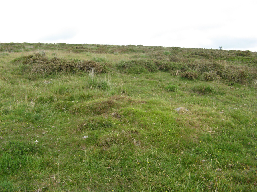
Photo taken on 22-07-2019
Database entries
OS Map: SX 57564 70895
OS Source: Garmin
HER: MDV50745
Alternate name: Raddick Hill W.6
Short Name: CN Raddick W6
Butler map: 46.3.6
Exist: Yes
Record: Unique
Record Source: HER
Hut Class: No
Cairn Class: Yes
Lidar: SX 57564 70895
Guide Map: 38
Nearest Bus Stop: Princetown Dartmoor Visitor Centre (3.9 km) [Route: 98,171,172]
Nearby sites: SX 57564 70895
Notes
Butler Raddick Hill W.1-7 has been split into 7 records.NMR: 8 cairns, see also 440321. See Butler Vol.3 p56-7 fig 46.3 - group of cairns just north of enclosure C. The author visited this group of cairns on 22/07/19. It is impossible to match up these cairns with these records. Butler gave just one grid reference for the group and the HER entries do not accurately transpose on to what is actually there on the ground. The grid references used for this group of records match the location of the site in the photo as recorded with a Garmin GPS device. The assignment/match with HER records is arbitrary and/or as good a match going by cairn size as the grid references are too inaccurate to match by location.References
These are selected references with an emphasis on out of copyright sources linked as PDFs. For more detailed references try any linked HER or PMD record above.
- Butler, Jeremy, Dartmoor Atlas of Antiquities, vol.3: The South-West, (1994)