
Inner Pupers Stone Ring Cairn Circle
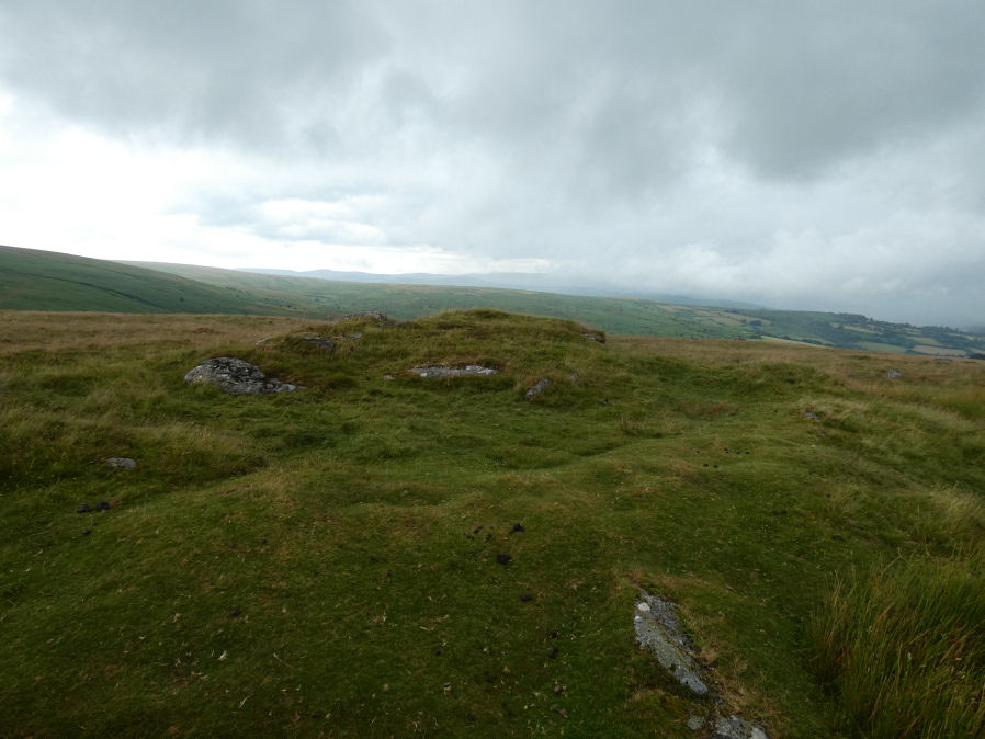
Photo taken on 13-07-2024

Photo 02/10/25
Database entries
OS Map: SX 67566 67421
OS Source: Google
Butler OS: SX67566740
HER: MDV13205
Megalithic Portal: 45847
PMD: Inner Pupers
Alternate name: Inner Pupers
Short Name: RC InnerPupers
Butler map: 58.9
Grinsell: WEST BUCKFASTLEIGH 6
Turner: A60
DPD page: 89
Exist: Yes
Record: Unique
Record Source: Butler
Hut Class: No
Cairn Class: Yes
Dimensions (m): 21.5 x 1.0
Lidar: SX 67566 67421
Guide Map: 45
Nearest Bus Stop: Buckfast Higher Mill Lane (8.2 km) [Route: 88]
Nearby sites: SX 67566 67421
Notes
HER: The rock outcrop known as Inner Pupers is encompassed by a cairn of 13.0 meters overall diameter. It takes the shape of a platform 0.4 meters high around the rock, with a rim 1.5 meters wide and a further 0.4 meters high. Of small stones, with further 'natural' slabs protrude through. NB. This feature is very visible on Google Satellite.References
These are selected references with an emphasis on out of copyright sources linked as PDFs. For more detailed references try any linked HER or PMD record above.
- Butler, Jeremy, Dartmoor Atlas of Antiquities, vol.4: The South-East, (1993)
- Grinsell, L.V., Dartmoor Barrows, Devon Archaeological Society Proceedings No.36 (1978)
- Lethbridge, William D., Discover Preshistoric Dartmoor, (2015)
- Turner, J.R., Ring Cairns, stone circles and related monuments on Dartmoor, D.A.S.P. No.48 pp.27-86 (1990)