
Houndtor Wood Fort
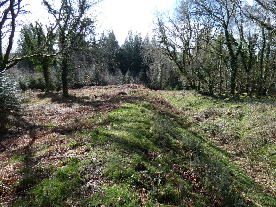
Photo taken on 11-03-2026
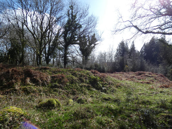
Entrance to the earthwork - photo 11/03/2026
Database entries
PDW coverage: Dartmoor Resource: Table of Devon Iron Age Forts
OS Map: SX 76838 80541
OS Source: Garmin
HER: MDV8828
Megalithic Portal: 7759
Alternate name: Houndtor Wood
Short Name: FT HoundtorWd
Exist: Yes
Record: Unique
Record Source: PDW
Hut Class: No
Lidar: SX 76838 80541
Guide Map: 30
Nearest Bus Stop (Minor): Manaton Becky Falls (1.4 km) [Route: 271,671]
Nearest Bus Stop (Major): Lustleigh Bishops Stone (2.0 km) [Route: 178]
Nearby sites: SX 76838 80541
Notes
HER: Earthworks at Houndtor Wood. Possibly an unfinished and badly sited promontory fort. Single ditch and bank covering a portion of the promontory. In a wood recently replanted with conifers. To the north-west and south-east the defences end in natural ground contour. A simple causewayed entrance is visible, no form of outer defences were discovered. Ideal situation to cover valley of River Bovey to the south and also good visibility to the east but overlooked by a crest to the immediate north. No surface finds nor signs of habitation but adequate water supply is available. Site covered under deep winter fern.Author visited this site with Steve Szypko on 11/03/2026. It looks a little like a promonitory fort. Site added to the listings after this visit.
References
These are selected references with an emphasis on out of copyright sources linked as PDFs. For more detailed references try any linked HER or PMD record above.
- Wall, J. Charles, Ancient Earthworks, The Victoria History of the County of Devon: v. 1 pp.573-630 (1906)